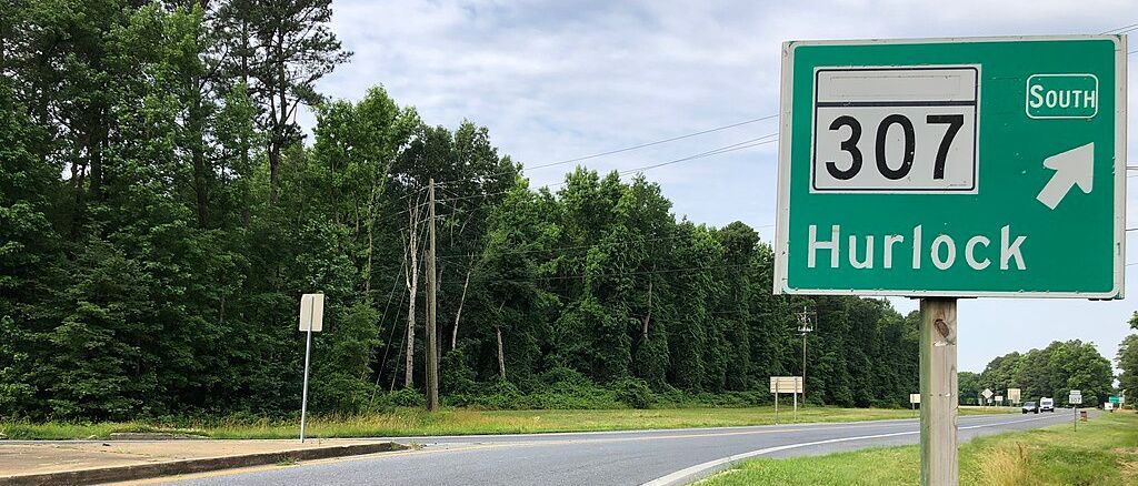
Seven Bridges Across Two Rivers in Dorchester County

Tucked into Dorchester County’s southeast quadrant, the slow-moving Transquaking and Chickamacomico rivers constitute a single watershed just east of the Blackwater National Wildlife Refuge. Mostly freshwater, the two streams meander 23 and 16 miles respectively through woods, wetlands, swamps, and tidal marshes, merge, and empty into the north end of Fishing Bay.
Both rivers run south, neither has a dam, and it’s alleged they’ve engendered their unique genetic stock of striped bass. They are spanned by seven bridges (not counting Rte. 50, which crosses both), five on the Transquaking and two on the Chickamacomico. To explore this unique area can take most of a day.
Using a topographical map — a must! — begin by finding the Transquaking as it flows under an ancient wooden bridge on Hawkeye Rd. less than two miles south of East New Market. It’s by far the oldest bridge you’ll encounter on this trip!

Next, about three miles away, the Chickamacomico rises in a wooded wetland preserved by the Nature Conservancy just off unpaved Johnson Rd.

Next, find Rte. 50, drive west about three miles to Linkwood, turn left onto Linkwood Rd., and you’ll quickly reach the second Transquaking crossing. It’s not so much a bridge as a causeway over three culverts.

The river here is considerably wider!
The next Transquaking bridge is on Aireys Rd. Evidenced by the numerous lines, lures, and bobbers wrapped around the telephone wires stretching across the stream, this is a popular fishing spot. Kayakers squeeze their boats and themselves under the low bridge to reach the extensive fishing area upstream.

On Decoursey Rd., the fourth Transquaking bridge includes the legend of Big Liz. She was enslaved, and her owner forced her into the marsh to bury his family’s silver. She buried it, he beheaded her, and she still haunts the area. It’s said you can ask Big Liz where the silver’s hidden by waiting on the bridge until dark, honking three times, and waiting for her to show up. During daylight hours, local fishermen are more likely to encounter a snakehead.

At the intersection of Greenbrier, Bestpitch Ferry, and Bucktown roads, you’ll find the historic Bucktown store.

Here famed abolitionist Harriet Tubman was grievously injured in her head while still in her teens. The store is about a mile from the Brodess farm, where she was enslaved. With its rivers, woods, and marshes much the same as they were in the early 1830s and ‘40s, this entire area remains “Tubman Country” to its core.
The last bridge over the Transquaking is at Bestpitch, also known as Bestpitch Ferry. This arching, single lane structure provides sweeping views of the vast surrounding marshes.

The adjacent boat ramp gives access to the Fishing Bay Water Trail.
The final two bridges on this tour span the Chickamacomico river, the first at New Bridge on New Bridge Rd. near the hamlet of Salem and the second at Drawbridge on Drawbridge Rd.

Two miles farther south, the Chickamacomico merges with the Transquaking at a point out of sight in the marsh. The LeCompte Wildlife Management Area is on Steele Neck Rd. A few miles east of New Bridge is the town of Vienna on the Nanticoke River, where you will find the Mandala Pie Bakery, a tasty finale to your trip.

From the Transquaking’s source near East New Market, along the circular route to the various stream crossings, to the town of Vienna on the Nanticoke is about 40 miles. Bring binoculars and a camera, pack a lunch, and in warm weather, have insect repellant. Also, to find your way and help you fully comprehend the area, you MUST have a detailed map; the DeLorme map book for Maryland/Delaware is highly recommended.
As a community organizer, journalist, administrator, project planner/manager, and consultant, Gren Whitman has led neighborhood, umbrella, public interest, and political committees and groups, and worked for civil rights and anti-war organizations.
Common Sense for the Eastern Shore


